 |
||
|
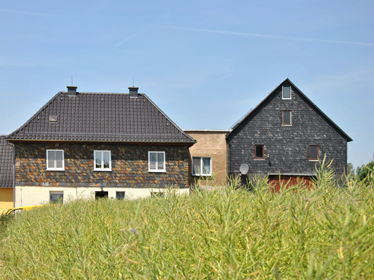
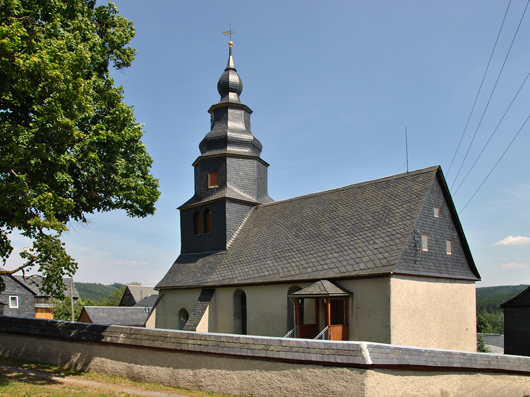
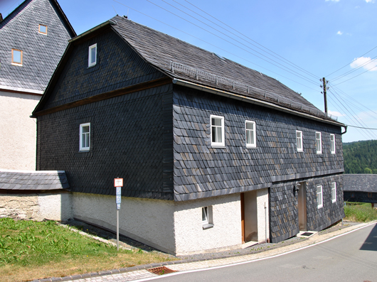
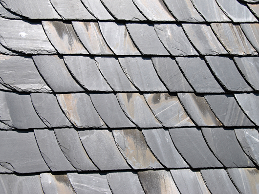
Slate deposits of Thuringia [Germany]
The roofing slate deposits belong to the southeastern part of the Thuringian Forest and the northwestern Franken Forest. In a geological sense they belong to the Lower-Carboniferous sediments within Saxothuringian Zone. In Thuringia two slate districts are distinguished: 'Unterland' ('lower land', Unterloquitz-Probstzella) and 'Oberland' ('upper land', Lehesten-Schmiedebach). The 'Unterland' is a transition from the 'Schwarzburger anticline' to the 'Teuschnitzer syncline'. To NW it is bordered by the Devonian 'Schwarzburger anticline', to NE by the 'Sormitztal fault' and to the south by the 'Gräfenthal-Lobenstein fault'. East of the 'Sormitztal fault' the slate layers run in greater depths (Pfeiffer, 1955).
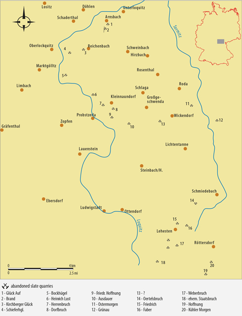
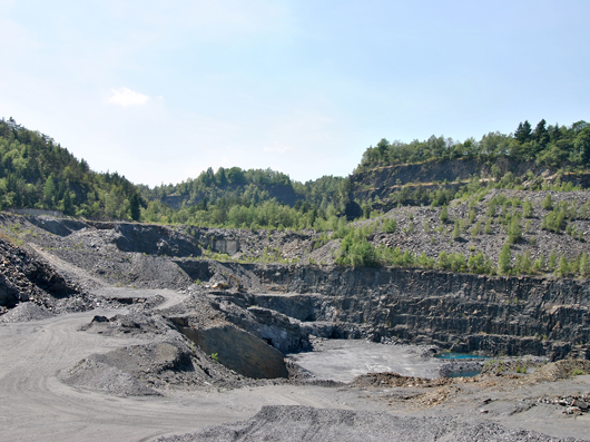
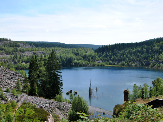
Abandoned slate quarries in Thuringia
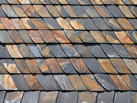
The 'Oberland' lies south of the 'Gräfenthaler Horst' in the area of the 'Frankenwald transverse zone'. To NW it is bordered by the 'Gräfenthal-Lobenstein fault' and to SW by the 'Ludwigstädter faulted zone'. The uplift of the 'Gräfenthaler Horst' brought the Lower-Carboniferous (Lower Culm) slate layers on the eastern flank to the surface. At the 'Frankenwald transverse zone', Upper-Carboniferous granitic intrusion occur (Henneberg granite, ca. 3 mi. northeastern of Lehesten). In addition, dikes of kersantite and porphyr occur in certain quarries within both districts. According to Pfeiffer (1987), the Lower-Carboniferous of Thuringia can be separated in three stages of a progressive development in a geosynclinal environment: the post-hercynian (Gattendorfia beds), the pre-flysch and the flysch which is again separated in three units. The roofing slates are within the pre-flysch, containing a thick mud-silt series and are described as 'Lehestener beds'. The 'Lehestener beds' begin with 'Schwärzschiefern' ('Rußschiefer' = sooty slate) and gradually turn into the actual roofing slate layers. This roofing slate layers represent carbonate-free deep water pelites which were deposited during the Middle-Tournaisian to Middle-Viséan. Based on fine stratigraphic phenomena this about 131 ft. thick roofing slate layers are divided in 'dark-gritty', 'blue' and 'dark rock'. Another feature are the intercalated calcareous or tuffitic beds, respectively, which reach only a thickness of several inches as well as the occurrence of spheroidial-siderite concretion. Within the Thuringian mines this spheroidial-siderite concretion are named 'Wände' ('Walls') and due to their continuing occurrence they are used as key beds. The sedimentary development is basically the same in both slate districts. A specific feature for the Lehesten area is a striking lineation (ribbon) which can be seen in the quarry of Schmiedebach.
The Thuringian slate districts were formed within the Sudetic phase (Viséan, Namurian) during the Hercynian orogeny, resulting in a NE-SW striking folding style with SW dipping fold axis planes. In the quarries folds with wavelength of deca- to hectometer can be observed. Due to the tangential folding force the folding style is very asymmetric.
Bilder Zum Vergrößern bitte mit der Maus über das jeweilige Bild fahren.
|
||||||